
01
Live Flight Tracking
Track aircraft in real time for aviation timelapses. View routes, takeoffs, landings, and airport traffic.
Open Flightradar24
TimeLapsed 1.0
Calculate frame count, playback length, and estimated file size. Open flight tracking and light-pollution maps for location planning.
Calculator
Set the capture interval, session duration, resolution, playback rate, and export quality. Every result updates as you move a control.
Total frames
720
Playback
24s
File size
28.6 MB
Real time
1h 0m
Calculation details
One frame every 5 seconds for 1h 0m, played at 30 fps. The finished motion runs about 150× faster than real time.
File size is an export estimate based on the selected bitrate. Source-image storage depends on the capture format and device.
Planning Maps
Use Flightradar24 to inspect aircraft routes and Light Pollution Map to compare sky darkness by location.
01
Track aircraft in real time for aviation timelapses. View routes, takeoffs, landings, and airport traffic.
Open Flightradar2402
Find dark-sky locations for astrophotography and star-trail timelapses. The map shows sky darkness using the Bortle scale.
Open Light Pollution Map
Current iOS build
These are the profile names, images, and tuned settings bundled with the current TimeLapsed camera. They come from the iOS project and its shared camera package.
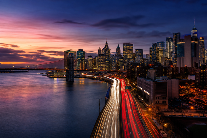
Automatic shutter, ISO, and white balance
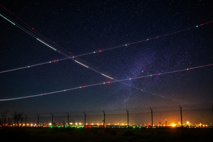
1/30 s shutter · ISO 1600 · 3800 K
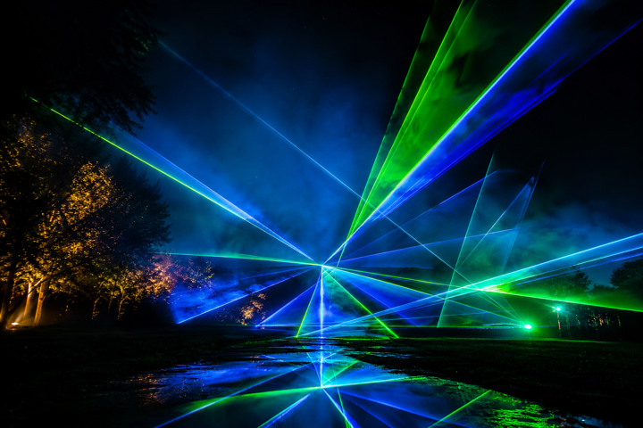
1/30 s shutter · ISO 1600

1/30 s shutter · ISO 1600

1 s shutter · ISO 800 · 1 s interval
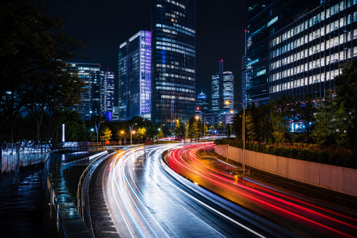
1/30 s shutter · ISO 1600 · Subject Motion blend

1/30 s shutter · ISO 1600